Lêer:Deutsch Ost-Afrika,1892.jpg

Grootte van hierdie voorskou: 467 × 600 piksels. Ander resolusies: 187 × 240 piksels | 374 × 480 piksels | 598 × 768 piksels | 797 × 1 024 piksels | 1 595 × 2 048 piksels | 3 503 × 4 498 piksels.
Oorspronklike lêer (3 503 × 4 498 piksels, lêergrootte: 10,38 MG, MIME-tipe: image/jpeg)
Opsomming
| Beskrywing |
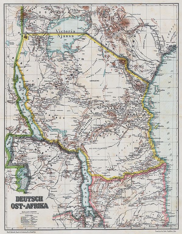
English: Map of German East Africa, 1892
Slovenčina: Mapa Nemeckej Východnej Afriky, 1892 |
| Datum | |
| Bron | Geschichte des Araber-Aufstandes in Ost-Afrika |
| Outeur | Schmidt, Rochus (1860-1938) |
| Open this image as an overlay in Google Earth (Google Maps, Bing) | (Help|Source) |
Lisensiëring
|
This work is in the public domain in its country of origin and other countries and areas where the copyright term is the author's life plus 70 years or fewer. This work is in the public domain in the United States because it was published (or registered with the U.S. Copyright Office) before January 1, 1929. | |
| Hierdie lêer is geïdentifiseer as vry van bekende beperkings onder kopiereg, insluitend alle verwante en naburige regte. | |
Lêergeskiedenis
Klik op die datum/tyd om te sien hoe die lêer destyds gelyk het.
| Datum/Tyd | Duimnael | Dimensies | Gebruiker | Opmerking | |
|---|---|---|---|---|---|
| huidig | 06:58, 15 Julie 2008 | | 3 503 × 4 498 (10,38 MG) | Matriosa | {{Information |Description={{en|1=Map of German East Africa, 1892}} {{sk|1=Mapa Nemeckej Východnej Afriky, 1892}} |Source=Geschichte des Araber-Aufstandes in Ost-Afrika |Author=Schmidt, Rochus |Date=1892 |Permission= |other_versions= }} {{ImageUpload|fu |
Lêergebruik
Die volgende bladsy gebruik dié lêer:
Globale lêergebruik
Die volgende ander wiki's gebruik hierdie lêer:
- Gebruik in als.wikipedia.org
- Gebruik in ar.wikipedia.org
- Gebruik in azb.wikipedia.org
- Gebruik in cs.wikipedia.org
- Gebruik in de.wikipedia.org
- Gebruik in en.wikipedia.org
- Gebruik in es.wikipedia.org
- Gebruik in eu.wikipedia.org
- Gebruik in fr.wikipedia.org
- Gebruik in fy.wikipedia.org
- Gebruik in hr.wikipedia.org
- Gebruik in ko.wikipedia.org
- Gebruik in mt.wikipedia.org
- Gebruik in nl.wikipedia.org
- Gebruik in no.wikipedia.org
- Gebruik in pnb.wikipedia.org
- Gebruik in ro.wikipedia.org
- Gebruik in ru.wikipedia.org
- Gebruik in sr.wikipedia.org
- Gebruik in sv.wikipedia.org
- Gebruik in tum.wikipedia.org
- Gebruik in ur.wikipedia.org
- Gebruik in zh.wikipedia.org