Lêer:North carolina topographic.jpg
Grootte van hierdie voorskou: 800 × 301 piksels. Ander resolusies: 320 × 121 piksels | 1 086 × 409 piksels.
Oorspronklike lêer (1 086 × 409 piksels, lêergrootte: 110 KG, MIME-tipe: image/jpeg)
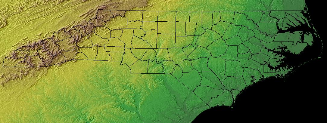
North Carolina - topographic map
Source:
This work is in the public domain in the United States because it is a work prepared by an officer or employee of the United States Government as part of that person’s official duties under the terms of Title 17, Chapter 1, Section 105 of the US Code.
Note: This only applies to original works of the Federal Government and not to the work of any individual U.S. state, territory, commonwealth, county, municipality, or any other subdivision. This template also does not apply to postage stamp designs published by the United States Postal Service since 1978. (See § 313.6(C)(1) of Compendium of U.S. Copyright Office Practices). It also does not apply to certain US coins; see The US Mint Terms of Use.
|
 | |
| Hierdie lêer is geïdentifiseer as vry van bekende beperkings onder kopiereg, insluitend alle verwante en naburige regte. | ||
Lêergeskiedenis
Klik op die datum/tyd om te sien hoe die lêer destyds gelyk het.
| Datum/Tyd | Duimnael | Dimensies | Gebruiker | Opmerking | |
|---|---|---|---|---|---|
| huidig | 20:46, 10 November 2004 | 1 086 × 409 (110 KG) | Balcer~commonswiki | North Carolina - topographic map |
Lêergebruik
Die volgende bladsy gebruik dié lêer:
Globale lêergebruik
Die volgende ander wiki's gebruik hierdie lêer:
- Gebruik in ca.wikipedia.org
- Gebruik in da.wikipedia.org
- Gebruik in en.wikipedia.org
- Gebruik in es.wikipedia.org
- Gebruik in gl.wikipedia.org
- Gebruik in id.wikipedia.org
- Gebruik in ja.wikipedia.org
- Gebruik in kn.wikipedia.org
- Gebruik in os.wikipedia.org
- Gebruik in pt.wikipedia.org
- Gebruik in simple.wikipedia.org
- Gebruik in zh.wikipedia.org