Lêer:South Sudan location map.svg

Oorspronklike lêer (SVG-lêer, normaalweg 1 561 × 1 133 piksels, lêergrootte: 205 KG)
Opsomming
| Beskrywing |
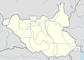
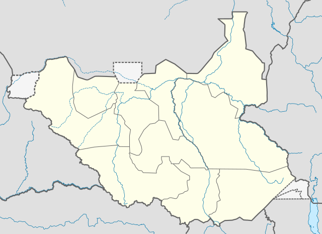
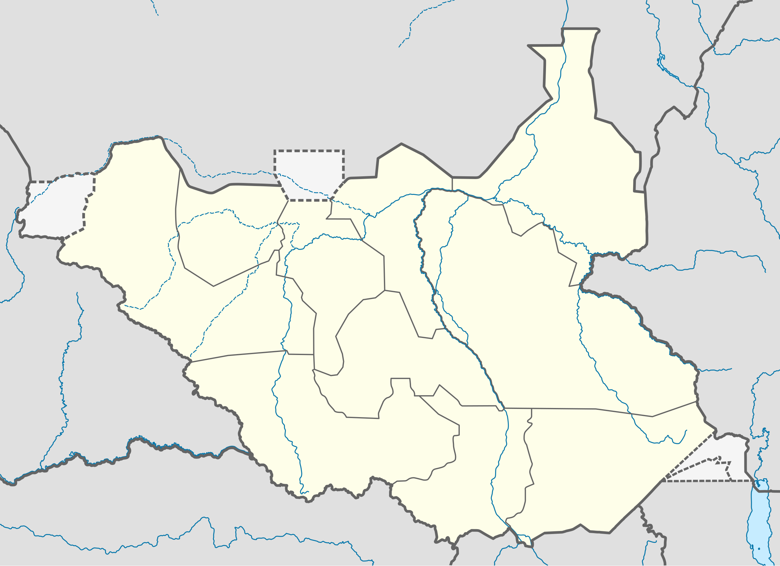
Deutsch: Positionskarte vom Südsudan
Quadratische Plattkarte, N-S-Streckung 101 %. Geographische Begrenzung der Karte:
English: Location map of South Sudan
Equirectangular projection, N/S stretching 101 %. Geographic limits of the map:
|
|
| Datum | ||
| Bron |
Eie werk, using
|
|
| Outeur | NordNordWest | |
| Toestemming (Hergebruik van die lêer) |
This file is licensed under the Creative Commons Attribution-Share Alike 3.0 Germany license.
 Hierdie lêer is gelisensieer onder die Creative Commons Erkenning-Insgelyks Deel 3.0 Onoorgedraagde lisensie.
|
|
| Ander weergawes |
Derivative works of this file: File:South Sudan location green map.svg |


|
This map has been made or improved in the German Kartenwerkstatt (Map Lab). You can propose maps to improve as well.
|
Lêergeskiedenis
Klik op die datum/tyd om te sien hoe die lêer destyds gelyk het.
| Datum/Tyd | Duimnael | Dimensies | Gebruiker | Opmerking | |
|---|---|---|---|---|---|
| huidig | 08:21, 18 Augustus 2011 | | 1 561 × 1 133 (205 KG) | Spesh531 | I am reverting and fixing all of the templates ot the best of my ability, I can need some help |
| 07:53, 18 Augustus 2011 |  | 1 500 × 1 133 (171 KG) | NordNordWest | you cannot change the area that is shown without adjusting all templates in which this map is used | |
| 23:20, 17 Augustus 2011 |  | 1 561 × 1 133 (205 KG) | Spesh531 | adding a disputed territory | |
| 11:42, 18 Julie 2011 |  | 1 500 × 1 133 (171 KG) | NordNordWest | corr | |
| 12:04, 8 Julie 2011 |  | 1 500 × 1 133 (172 KG) | NordNordWest | upd | |
| 14:23, 18 Februarie 2011 |  | 1 500 × 1 133 (178 KG) | NordNordWest | =={{int:filedesc}}== {{Information |Description= {{de|Positionskarte vom Südsudan}} Quadratische Plattkarte, N-S-Streckung 101 %. Geographische Begrenzung der Karte: * N: 12.7° N * S: 3.2° N * W: 23.7° O * O: 36.4° O {{en|Location m |
Lêergebruik
Die volgende bladsy gebruik dié lêer:
Globale lêergebruik
Die volgende ander wiki's gebruik hierdie lêer:
- Gebruik in ar.wikipedia.org
- Gebruik in bn.wikipedia.org
- Gebruik in ckb.wikipedia.org
- Gebruik in da.wikipedia.org
- Gebruik in de.wikipedia.org
- Gebruik in en.wikipedia.org
- Gebruik in eo.wikipedia.org
- Gebruik in es.wikipedia.org
- Gebruik in eu.wikipedia.org
- Gebruik in fa.wikipedia.org
- Gebruik in frr.wikipedia.org
- Gebruik in gl.wikipedia.org
- Gebruik in hy.wikipedia.org
- Gebruik in id.wikipedia.org
- Gebruik in incubator.wikimedia.org
- Gebruik in it.wikipedia.org
Wys meer globale gebruik van die lêer.