Lêer:East Timor Satellite.jpg
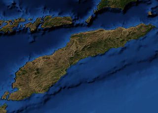
Grootte van hierdie voorskou: 800 × 576 piksels. Ander resolusies: 320 × 230 piksels | 640 × 461 piksels | 913 × 657 piksels.
Oorspronklike lêer (913 × 657 piksels, lêergrootte: 48 KG, MIME-tipe: image/jpeg)
This file is in the public domain because it is a mosaic composed by images obtained from OpenLayers (http://openlayers.org)
|
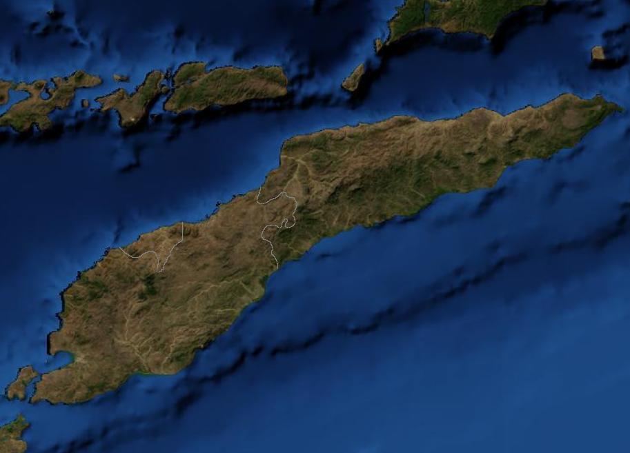
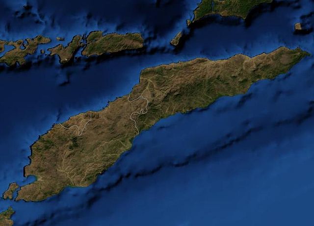
Satellite image of East Timor.
Lêergeskiedenis
Klik op die datum/tyd om te sien hoe die lêer destyds gelyk het.
| Datum/Tyd | Duimnael | Dimensies | Gebruiker | Opmerking | |
|---|---|---|---|---|---|
| huidig | 03:39, 19 Maart 2007 | | 913 × 657 (48 KG) | Waldyrious | {{PD-because|it is a mosaic composed by images obtained from OpenLayers (http://openlayers.org)}} Satellite image of East Timor. Category:Maps of East Timor |
Lêergebruik
Die volgende bladsy gebruik dié lêer:
Globale lêergebruik
Die volgende ander wiki's gebruik hierdie lêer:
- Gebruik in bn.wikipedia.org
- Gebruik in en.wikipedia.org
- Gebruik in nl.wikipedia.org
- Gebruik in pl.wiktionary.org
- Gebruik in pt.wikipedia.org