Lêer:NFL in 1912.png

Grootte van hierdie voorskou: 607 × 600 piksels. Ander resolusies: 243 × 240 piksels | 486 × 480 piksels | 975 × 963 piksels.
Oorspronklike lêer (975 × 963 piksels, lêergrootte: 1,75 MG, MIME-tipe: image/png)
Opsomming
| Beskrywing |
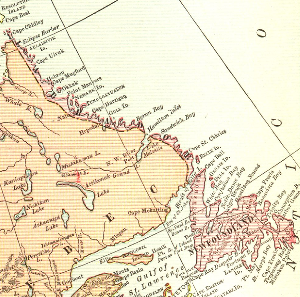
English: Map of Newfoundland and Labrador in 1912
Français : Carte de Terre-Neuve-et-Labrador en 1912 |
| Datum | |
| Bron | The New Student's Reference Work |
| Outeur | DOMINION OF CANADA AND NEWFOUNDLAND from The New Student's Reference Work. |

|
The author died in 1936, so this work is in the public domain in its country of origin and other countries and areas where the copyright term is the author's life plus 80 years or fewer. This work is in the public domain in the United States because it was published (or registered with the U.S. Copyright Office) before January 1, 1929. | |
| Hierdie lêer is geïdentifiseer as vry van bekende beperkings onder kopiereg, insluitend alle verwante en naburige regte. | |
Lêergeskiedenis
Klik op die datum/tyd om te sien hoe die lêer destyds gelyk het.
| Datum/Tyd | Duimnael | Dimensies | Gebruiker | Opmerking | |
|---|---|---|---|---|---|
| huidig | 18:30, 15 Oktober 2011 | | 975 × 963 (1,75 MG) | Zorion | {{Information |Description ={{en|1=Map of Newfoundland and Labrador in 1912}} |Source ={{own}} |Author =Zorion |Date = |Permission = |other_versions = }} Category:Maps of Newfoundland and Labrador |
Lêergebruik
Die volgende bladsy gebruik dié lêer:
Globale lêergebruik
Die volgende ander wiki's gebruik hierdie lêer:
- Gebruik in ar.wikipedia.org
- Gebruik in az.wikipedia.org
- Gebruik in cs.wikipedia.org
- Gebruik in en.wikipedia.org
- Gebruik in es.wikipedia.org
- Gebruik in fr.wikipedia.org
- Gebruik in fy.wikipedia.org
- Gebruik in it.wikipedia.org
- Gebruik in mt.wikipedia.org
- Gebruik in no.wikipedia.org
- Gebruik in ru.wikipedia.org
- Gebruik in sv.wikipedia.org
- Gebruik in uk.wikipedia.org
- Gebruik in www.wikidata.org