Lêer:Pacific Ocean laea location map.svg

Size of this PNG preview of this SVG file: 659 × 600 piksels. Ander resolusies: 264 × 240 piksels | 528 × 480 piksels | 844 × 768 piksels | 1 126 × 1 024 piksels | 2 251 × 2 048 piksels | 709 × 645 piksels.
Oorspronklike lêer (SVG-lêer, normaalweg 709 × 645 piksels, lêergrootte: 217 KG)
Agemaps.com
Opsomming
| Beskrywing |
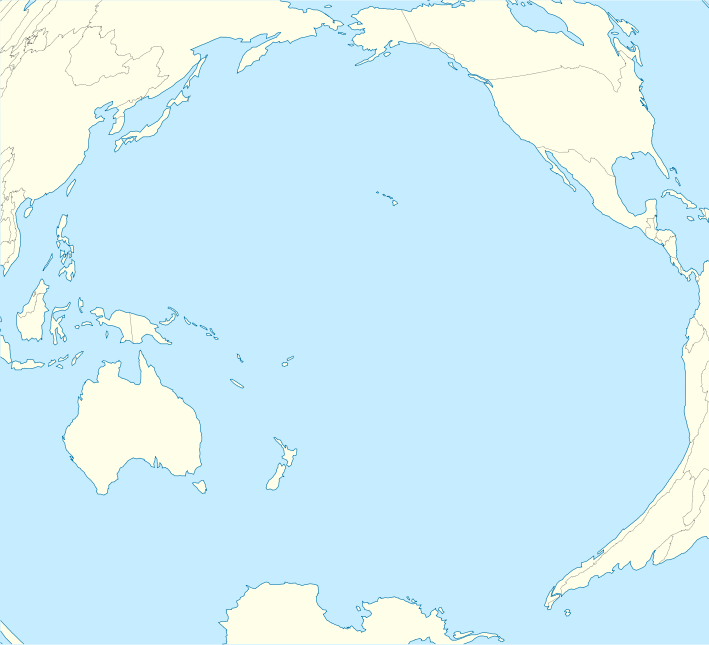
English: Location map of Pacific Ocean.
|
| Datum | |
| Bron | Eie werk |
| Outeur | Tentotwo |
Shell script for generating the map using GMT archive copy at the Wayback Machine
#!/bin/sh

# Set common options
PROJECTION=A-165.0/-10.0/180/19.998266666666666c
REGION=-320.2519138145009/-12.459450078533589/-5.473602099069988/26.40516525873812r
FILENAME=Pacific_Ocean_laea_location_map.ps

# Get Natural Earth datafiles
echo "Downloading datafiles from naturalearthdata.com"
wget -nv -nc \
 http://www.naturalearthdata.com/http//www.naturalearthdata.com/download/110m/physical/110m-coastline.zip\
 http://www.naturalearthdata.com/http//www.naturalearthdata.com/download/110m/physical/110m-land.zip\
 http://www.naturalearthdata.com/http//www.naturalearthdata.com/download/110m/cultural/110m-admin-0-boundary-lines.zip
echo "...done\n"

echo "Inflating archives"
unzip 110m\*.zip
echo "...done\n"

echo "Converting shapefiles to GMT"
ogr2ogr -F GMT 110m_land.gmt 110m_land.shp
ogr2ogr -F GMT 110m_coastline.gmt 110m_coastline.shp
ogr2ogr -F GMT 50m_borders.gmt ne_50m_admin_0_boundary_lines_land.shp
echo "...done\n"

echo "Creating maps"
GMT psxy -m -J$PROJECTION -R$REGION --PAGE_COLOR=198/236/255  --POLAR_CAP=none --PAPER_MEDIA=A3  --BASEMAP_TYPE=plain --BASEMAP_AXES=NESW --FRAME_PEN=0.15p,black 110m_land.gmt -K -G254/254/233 > $FILENAME
GMT psxy -m -J$PROJECTION -R$REGION 110m_coastline.gmt -O -K -W0.535p,9/120/171  >> $FILENAME
GMT psxy -m -J$PROJECTION -R$REGION 50m_borders.gmt -O -W100/100/100  >> $FILENAME
echo "...done\n"

echo "You can now open $FILENAME in Inkscape to clean up the file and save it as SVG. You should add an ocean coloured background and simplify the graticules using CTRL+L."

gv $FILENAME
Lisensiëring
Ek, die outeursreghouer van hierdie werk, publiseer dit onder die volgende lisensie:
Hierdie lêer is gelisensieer onder die Creative Commons Erkenning-Insgelyks Deel 3.0 Onoorgedraagde lisensie.
- U is vry:
- om te deel – die werk kopieer, versprei en deurgee
- om te hermeng – om die werk aan te pas
- Onder die volgende voorwaardes:
- naamsvermelding – U moet die nodige krediet gee, 'n skakel na die lisensie verskaf en aandui of daar veranderinge aangebring is. U mag dit op enige redelike manier doen, maar nie op enige manier wat daarop dui dat die lisensiegewer u of u gebruik onderskryf nie.
- insgelyks – As u die materiaal hermix, transformeer of voortbou, moet u u bydraes versprei onder die dieselfde of versoenbare lisensie as die oorspronklike.
Lêergeskiedenis
Klik op die datum/tyd om te sien hoe die lêer destyds gelyk het.
| Datum/Tyd | Duimnael | Dimensies | Gebruiker | Opmerking | |
|---|---|---|---|---|---|
| huidig | 10:51, 1 Februarie 2012 | | 709 × 645 (217 KG) | Tentotwo | Fixed missing colour in Asia |
| 10:00, 1 Februarie 2012 |  | 709 × 645 (235 KG) | Tentotwo |
Lêergebruik
Die volgende 5 bladsye gebruik dié lêer:
Globale lêergebruik
Die volgende ander wiki's gebruik hierdie lêer:
- Gebruik in an.wikipedia.org
- Gebruik in ar.wikipedia.org
- Gebruik in ast.wikipedia.org
- Micronesia
- Archipiélagu de Ḥawai
- Islla Clipperton
- Puntu caliente de Galápagos
- Islles Marqueses
- Oahu
- Fatu Hiva
- Islla Campbell
- Atafu
- Islles Carolines
- Islla de Pascua
- Fuexa de les Marianes
- Islles Marianes
- Reserva marina de Galápagos
- Observatorios de Mauna Kea
- Islles Spratly
- Islles Auckland
- Islles Campbell
- Islles Antípodes
- Pearl Harbor
- Raiatea
- Islles Chatham
- Kilauea
- Tinian
- Aeropuertu Seymour
- Aeropuertu de Palmyra
- Aeropuertu de San Cristóbal
- Aeropuertu del Atolón Johnston
- Totegegie
- Wheeler Army Airfield
- Hanga Roa
- Waitangi
- Islles Maug
- Agrihan
- Islla Rota
- Islla de Pagán
- Guguan
- Alamagan
- Módulu:Mapa de llocalización/datos/Océanu Pacíficu/usu
- Módulu:Mapa de llocalización/datos/Océanu Pacíficu
- Moho Tani
- Hatutu
- Eiao
- Motu Iti (Islla de Pascua)
Wys meer globale gebruik van die lêer.