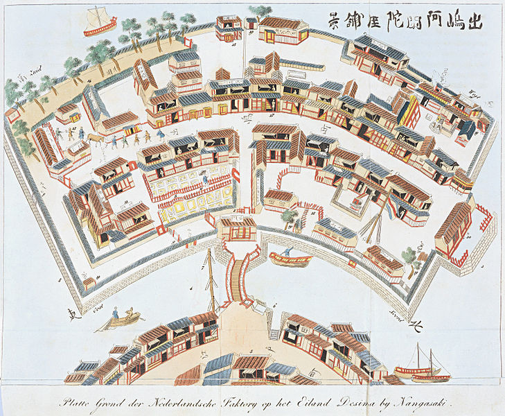
Lêer:Plattegrond van Deshima.jpg

Grootte van hierdie voorskou: 729 × 600 piksels. Ander resolusies: 292 × 240 piksels | 584 × 480 piksels | 934 × 768 piksels | 1 245 × 1 024 piksels | 2 490 × 2 048 piksels | 3 213 × 2 643 piksels.
Oorspronklike lêer (3 213 × 2 643 piksels, lêergrootte: 3,7 MG, MIME-tipe: image/jpeg)
Lêergeskiedenis
Klik op die datum/tyd om te sien hoe die lêer destyds gelyk het.
| Datum/Tyd | Duimnael | Dimensies | Gebruiker | Opmerking | |
|---|---|---|---|---|---|
| huidig | 20:16, 1 September 2009 |  | 3 213 × 2 643 (3,7 MG) | Jan Arkesteijn | {{Information |Description={{nl|1=Plattegrond van de Nederlandse faktorij op het eiland Desima bij Nangasaki}} |Source=[http://www.deverdiepingvannederland.nl/images/japan/index.html Koninklijke Bibliotheek] |Author=unknown |Date=17th century |Permission= |
Lêergebruik
Die volgende bladsy gebruik dié lêer:
Globale lêergebruik
Die volgende ander wiki's gebruik hierdie lêer:
- Gebruik in ar.wikipedia.org
- Gebruik in azb.wikipedia.org
- Gebruik in ca.wikipedia.org
- Gebruik in cs.wikipedia.org
- Gebruik in da.wikipedia.org
- Gebruik in de.wikipedia.org
- Gebruik in en.wikipedia.org
- Gebruik in fi.wikipedia.org
- Gebruik in fr.wikipedia.org
- Gebruik in fy.wikipedia.org
- Gebruik in io.wikipedia.org
- Gebruik in ja.wikipedia.org
- Gebruik in ja.wikibooks.org
- Gebruik in ms.wikipedia.org
- Gebruik in nl.wikipedia.org
- Gebruik in no.wikipedia.org
- Gebruik in pt.wikipedia.org
- Gebruik in simple.wikipedia.org
- Gebruik in sl.wikipedia.org
- Gebruik in sv.wikipedia.org
- Gebruik in th.wikipedia.org
- Gebruik in vi.wikipedia.org
- Gebruik in www.wikidata.org
- Gebruik in zh.wikipedia.org