Lêer:South Korea location map.svg

Size of this PNG preview of this SVG file: 635 × 599 piksels. Ander resolusies: 254 × 240 piksels | 509 × 480 piksels | 814 × 768 piksels | 1 085 × 1 024 piksels | 2 171 × 2 048 piksels | 1 772 × 1 672 piksels.
Oorspronklike lêer (SVG-lêer, normaalweg 1 772 × 1 672 piksels, lêergrootte: 376 KG)
Opsomming
| Beskrywing |
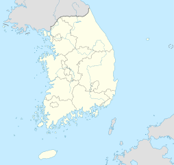
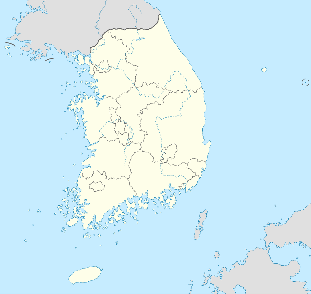
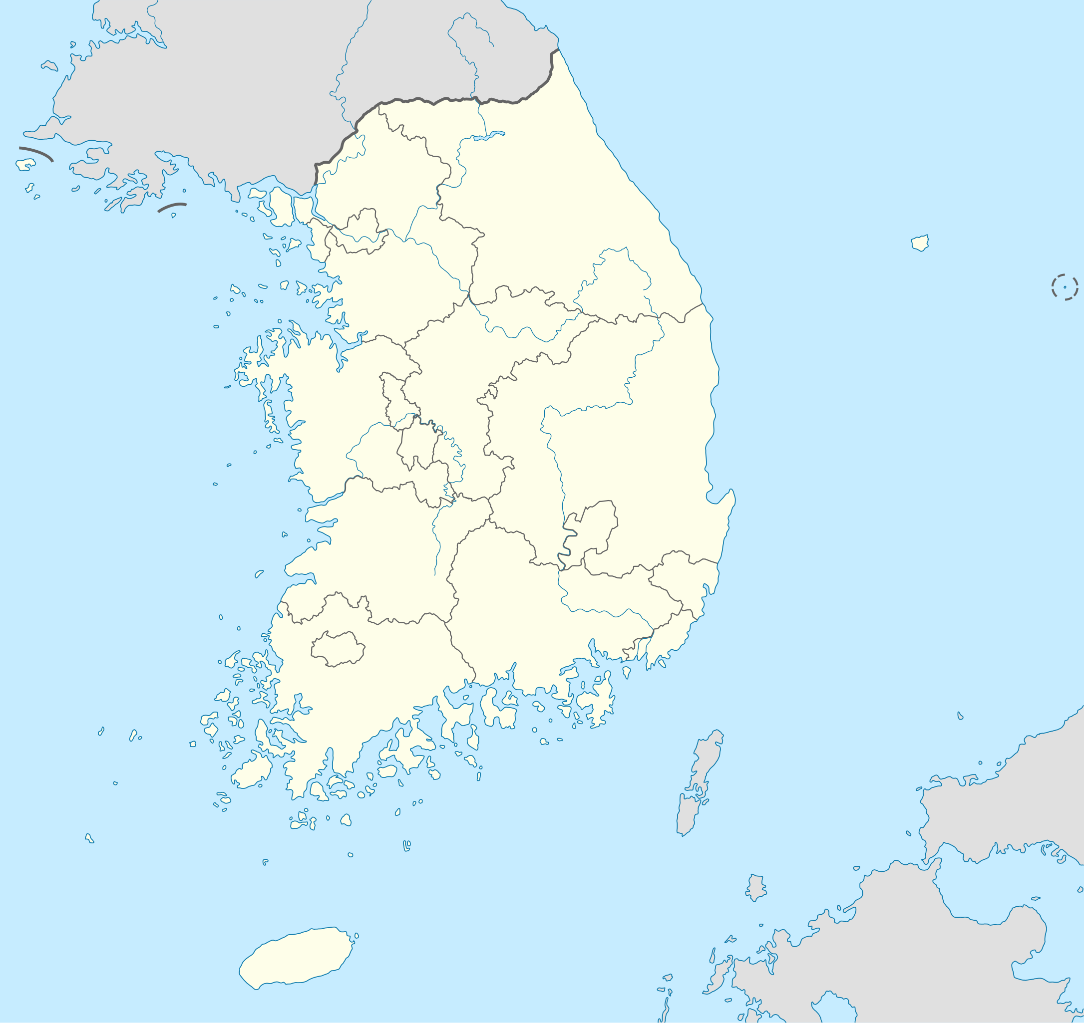
Deutsch: Positionskarte von Südkorea
Quadratische Plattkarte, N-S-Streckung 120 %. Geographische Begrenzung der Karte:
English: Location map of South Korea
Equirectangular projection, N/S stretching 120 %. Geographic limits of the map:
|
||
| Datum | |||
| Bron |
own work, using
|
||
| Outeur | NordNordWest | ||
| Ander weergawes |
Derivative works of this file: |
||
| SVG genesis | This locator map was created with Adobe Illustrator.
|

Lisensiëring
Ek, die outeursreghouer van hierdie werk, publiseer dit onder die volgende lisensie:

|
Toestemming word verleen tot die kopiëring, verspreiding en/of wysiging van hierdie dokument onder die voorwaardes van die GNU-lisensie vir vrye dokumentasie, weergawe 1.2 of enige latere weergawe uitgegee deur die Stigting vir Vrye Sagteware, sonder Invariante Dele, geen Voorbladtekste en geen Agterbladtekste. 'n Kopie van hierdie lisensie is ingesluit in die afdeling getiteld GNU Free Documentation License. |
Hierdie lêer is gelisensieer onder die Creative Commons Erkenning-Insgelyks Deel 3.0 Onoorgedraagde lisensie.
- U is vry:
- om te deel – die werk kopieer, versprei en deurgee
- om te hermeng – om die werk aan te pas
- Onder die volgende voorwaardes:
- naamsvermelding – U moet die nodige krediet gee, 'n skakel na die lisensie verskaf en aandui of daar veranderinge aangebring is. U mag dit op enige redelike manier doen, maar nie op enige manier wat daarop dui dat die lisensiegewer u of u gebruik onderskryf nie.
- insgelyks – As u die materiaal hermix, transformeer of voortbou, moet u u bydraes versprei onder die dieselfde of versoenbare lisensie as die oorspronklike.
U kan die lisensie van u keuse kies.
Lêergeskiedenis
Klik op die datum/tyd om te sien hoe die lêer destyds gelyk het.
| Datum/Tyd | Duimnael | Dimensies | Gebruiker | Opmerking | |
|---|---|---|---|---|---|
| huidig | 10:48, 2 Junie 2012 | | 1 772 × 1 672 (376 KG) | Geoarchive | Update Sejong Special Autonomous City |
| 17:48, 24 Oktober 2010 |  | 1 772 × 1 672 (377 KG) | NordNordWest | upd | |
| 20:05, 2 Oktober 2010 |  | 1 559 × 1 672 (349 KG) | NordNordWest | upd | |
| 18:57, 26 Augustus 2008 |  | 1 559 × 1 673 (502 KG) | NordNordWest | {{Information |Description= {{de|Positionskarte von Südkorea}} Quadratische Plattkarte, N-S-Streckung 120 %. Geographische Begrenzung der Karte: * N: 38.9° N * S: 33.0° N * W: 124.5° O * O: 131.1° O {{en|Location map of [[:en:South |
Lêergebruik
Daar is geen bladsye wat dié lêer gebruik nie.
Globale lêergebruik
Die volgende ander wiki's gebruik hierdie lêer:
- Gebruik in as.wikipedia.org
- Gebruik in en.wikipedia.org
- Gebruik in fr.wikipedia.org
- Gebruik in fr.wikinews.org
- Gebruik in incubator.wikimedia.org
- Gebruik in ko.wikipedia.org
- Gebruik in sv.wikipedia.org
- Gebruik in zh.wikipedia.org