Lêer:South Sudan sat.jpg

Grootte van hierdie voorskou: 799 × 600 piksels. Ander resolusies: 320 × 240 piksels | 640 × 480 piksels | 1 023 × 768 piksels | 1 280 × 961 piksels | 1 464 × 1 099 piksels.
Oorspronklike lêer (1 464 × 1 099 piksels, lêergrootte: 349 KG, MIME-tipe: image/jpeg)
Opsomming
| Beskrywing |
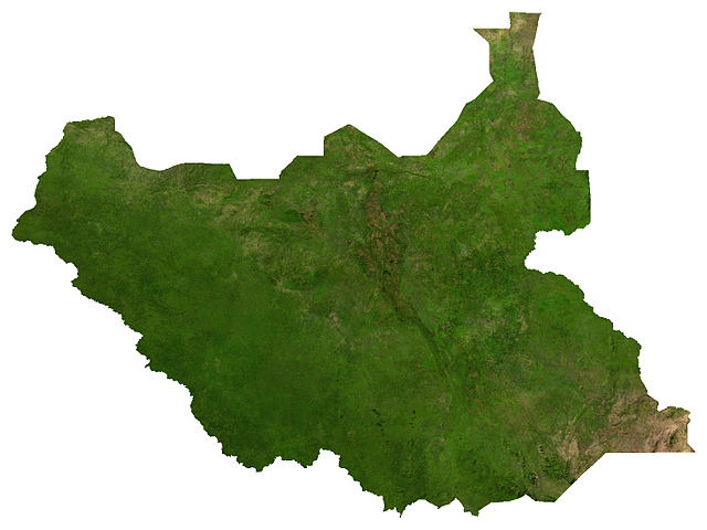
English: Satellite image of South Sudan, from maplibrary.org |
| Datum | |
| Bron | The Map Library |
| Outeur | The Map Library |
Lisensiëring
| Copyleft: This work of art is free; you can redistribute it and/or modify it according to terms of the Free Art License. You will find a specimen of this license on the Copyleft Attitude site as well as on other sites. |
| This file is in the public domain, because it was generated by a user, using free sources available at The Map Library.
Note that this does not include the maps in the Global Administrative Areas section of the homepage. |
Lêergeskiedenis
Klik op die datum/tyd om te sien hoe die lêer destyds gelyk het.
| Datum/Tyd | Duimnael | Dimensies | Gebruiker | Opmerking | |
|---|---|---|---|---|---|
| huidig | 01:11, 1 Augustus 2011 | | 1 464 × 1 099 (349 KG) | LouisianaFan~commonswiki |
Lêergebruik
Die volgende bladsy gebruik dié lêer:
Globale lêergebruik
Die volgende ander wiki's gebruik hierdie lêer:
- Gebruik in arz.wikipedia.org
- Gebruik in be.wikipedia.org
- Gebruik in bn.wikipedia.org
- Gebruik in cs.wikipedia.org
- Gebruik in de.wikipedia.org
- Gebruik in en.wikipedia.org
- Gebruik in es.wikipedia.org
- Gebruik in fr.wikipedia.org
- Gebruik in hi.wikipedia.org
- Gebruik in hu.wikipedia.org
- Gebruik in it.wikipedia.org
- Gebruik in ka.wikipedia.org
- Gebruik in li.wikipedia.org
- Gebruik in mt.wikipedia.org
- Gebruik in ru.wikipedia.org
- Gebruik in sw.wikipedia.org
- Gebruik in te.wikipedia.org
- Gebruik in trv.wikipedia.org
- Gebruik in uk.wikipedia.org
- Gebruik in zh.wikipedia.org