Lêer:Venezuela location map (+claimed).svg

Size of this PNG preview of this SVG file: 745 × 599 piksels. Ander resolusies: 298 × 240 piksels | 597 × 480 piksels | 955 × 768 piksels | 1 273 × 1 024 piksels | 2 545 × 2 048 piksels | 1 838 × 1 479 piksels.
Oorspronklike lêer (SVG-lêer, normaalweg 1 838 × 1 479 piksels, lêergrootte: 914 KG)
Opsomming
| Beskrywing |
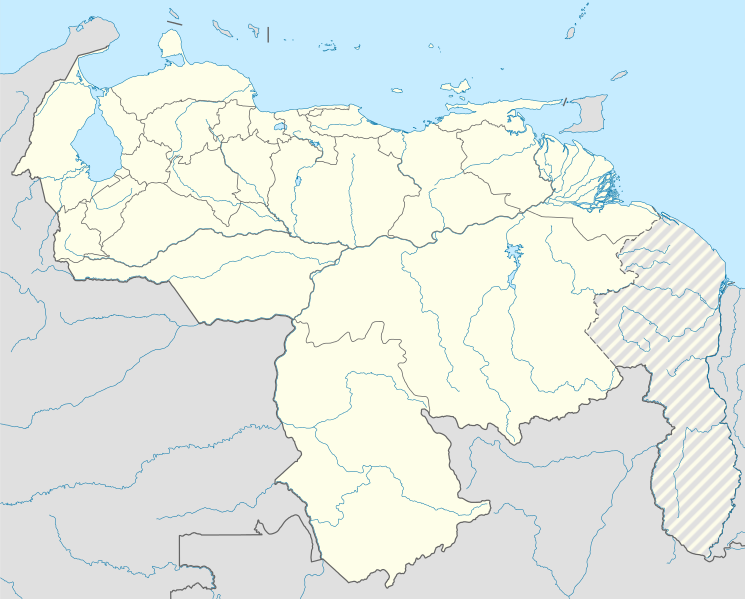
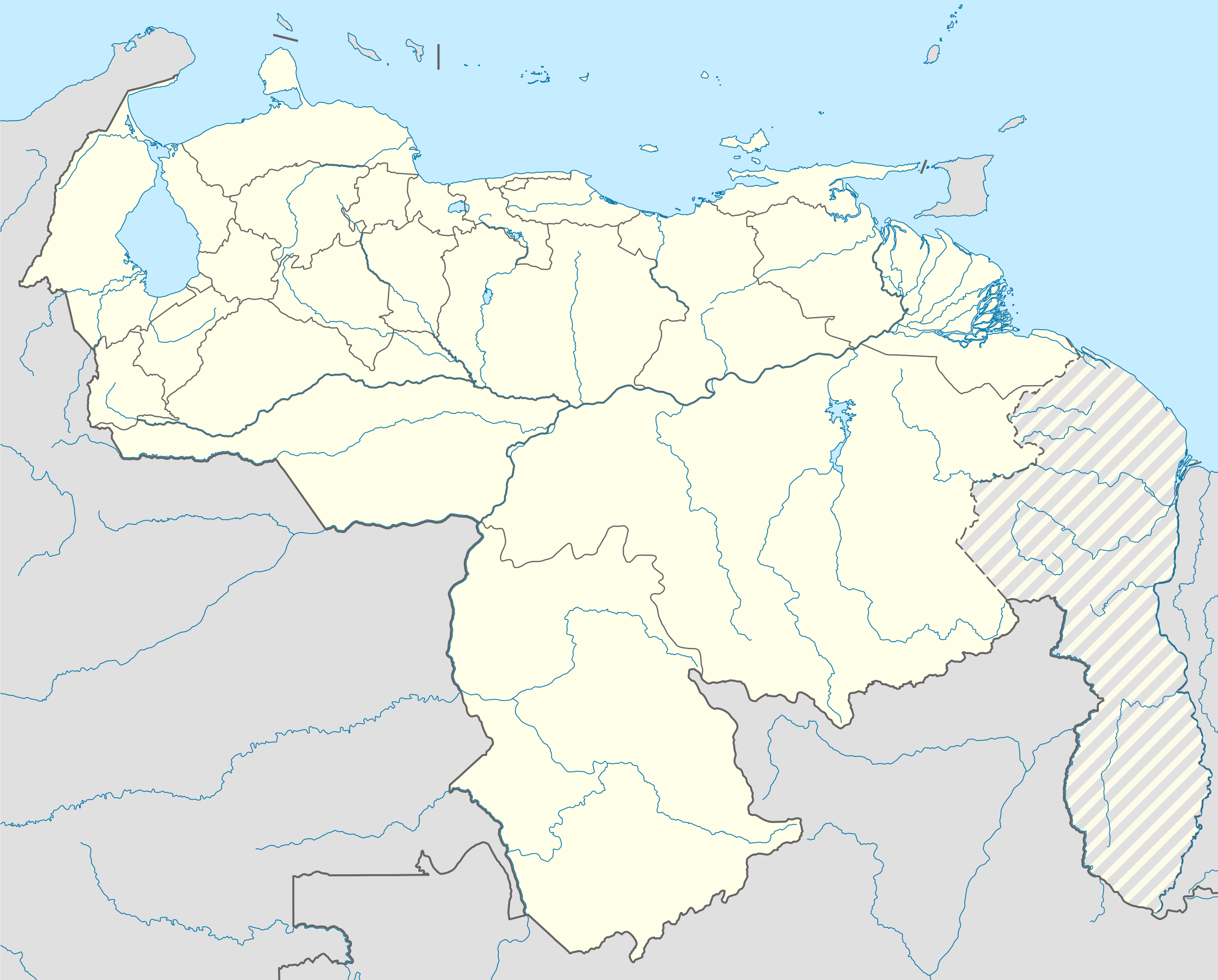
English: Location map of Venezuela Equirectangular projection, N/S stretching 101 %. Geographic limits of the map:
|
| Datum | (UTC) |
| Bron |
This file was derived from: |
| Outeur | |
| Ander weergawes |
|
| SVG genesis |
.jpg)


.svg)
Lisensiëring
Hierdie lêer is gelisensieer onder die Creative Commons Erkenning-Insgelyks Deel 3.0 Onoorgedraagde lisensie.
- U is vry:
- om te deel – die werk kopieer, versprei en deurgee
- om te hermeng – om die werk aan te pas
- Onder die volgende voorwaardes:
- naamsvermelding – U moet die nodige krediet gee, 'n skakel na die lisensie verskaf en aandui of daar veranderinge aangebring is. U mag dit op enige redelike manier doen, maar nie op enige manier wat daarop dui dat die lisensiegewer u of u gebruik onderskryf nie.
- insgelyks – As u die materiaal hermix, transformeer of voortbou, moet u u bydraes versprei onder die dieselfde of versoenbare lisensie as die oorspronklike.
Oorspronklike oplaailogboek
This image is a derivative work of the following images:
- File:Venezuela_location_map.svg licensed with Cc-by-sa-3.0
- File:Guyana_location_map.svg licensed with Cc-by-sa-3.0, GFDL
Uploaded with derivativeFX
Lêergeskiedenis
Klik op die datum/tyd om te sien hoe die lêer destyds gelyk het.
| Datum/Tyd | Duimnael | Dimensies | Gebruiker | Opmerking | |
|---|---|---|---|---|---|
| huidig | 01:17, 25 Julie 2013 | | 1 838 × 1 479 (914 KG) | Milenioscuro | == {{int:filedesc}} == {{Information |Description={{en|Location map of Venezuela}} Equirectangular projection, N/S stretching 101 %. Geographic limits of the map: * N: 12.8° N * S: 0.4° N * W: 73.6° W * E: --.-° W |Source={{Derive... |
Lêergebruik
Die volgende bladsy gebruik dié lêer:
Globale lêergebruik
Die volgende ander wiki's gebruik hierdie lêer:
- Gebruik in ar.wikipedia.org
- Gebruik in ast.wikipedia.org
- Caraques
- Mérida (Venezuela)
- Valdez
- Monumentu natural Llaguna de Les Marites
- Llaguna del Santu Cristu
- Santa Apolonia (Mérida)
- Pueblo Nuevo de la Sierra
- Península d'Araya
- Centro San Ignacio
- Urica
- Teleféricu de Mérida
- Llanos
- Ríu Orinoco
- Palaciu Federal Llexislativu
- Palaciu Llexislativu del Estáu Zulia
- Salto Ángel
- Maracaibo
- Módulu:Mapa de llocalización/datos/Venezuela
- Módulu:Mapa de llocalización/datos/Venezuela/usu
- Copa América 2007
- Aeropuertu Don Edmundo Barrios
- Aeropuertu Las Flecheras
- Aeropuertu Los Roques
- Borburata
- Ciudad Guayana
- Guanta
- Juan Griego
- La Guaira
- Carirubana
- Puerto Cabello
- Puerto Cumarebo
- Puerto La Cruz
- Puerto Píritu
- Puertu de La Guaira
- Puertu de Maracaibo
- Puertu de Puerto Cabello
- Academia Venezolana de la Llingua
- Tepui
- Gebruik in bg.wikipedia.org
- Gebruik in bh.wikipedia.org
- Gebruik in bn.wikipedia.org
- Gebruik in ca.wikipedia.org
- Gebruik in ceb.wikipedia.org
Wys meer globale gebruik van die lêer.
.svg)
.svg)