Lêer:Virgin Islands-map-CIA.jpg

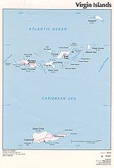
Grootte van hierdie voorskou: 407 × 599 piksels. Ander resolusies: 163 × 240 piksels | 326 × 480 piksels | 522 × 768 piksels | 1 036 × 1 525 piksels.
Oorspronklike lêer (1 036 × 1 525 piksels, lêergrootte: 138 KG, MIME-tipe: image/jpeg)
Opsomming
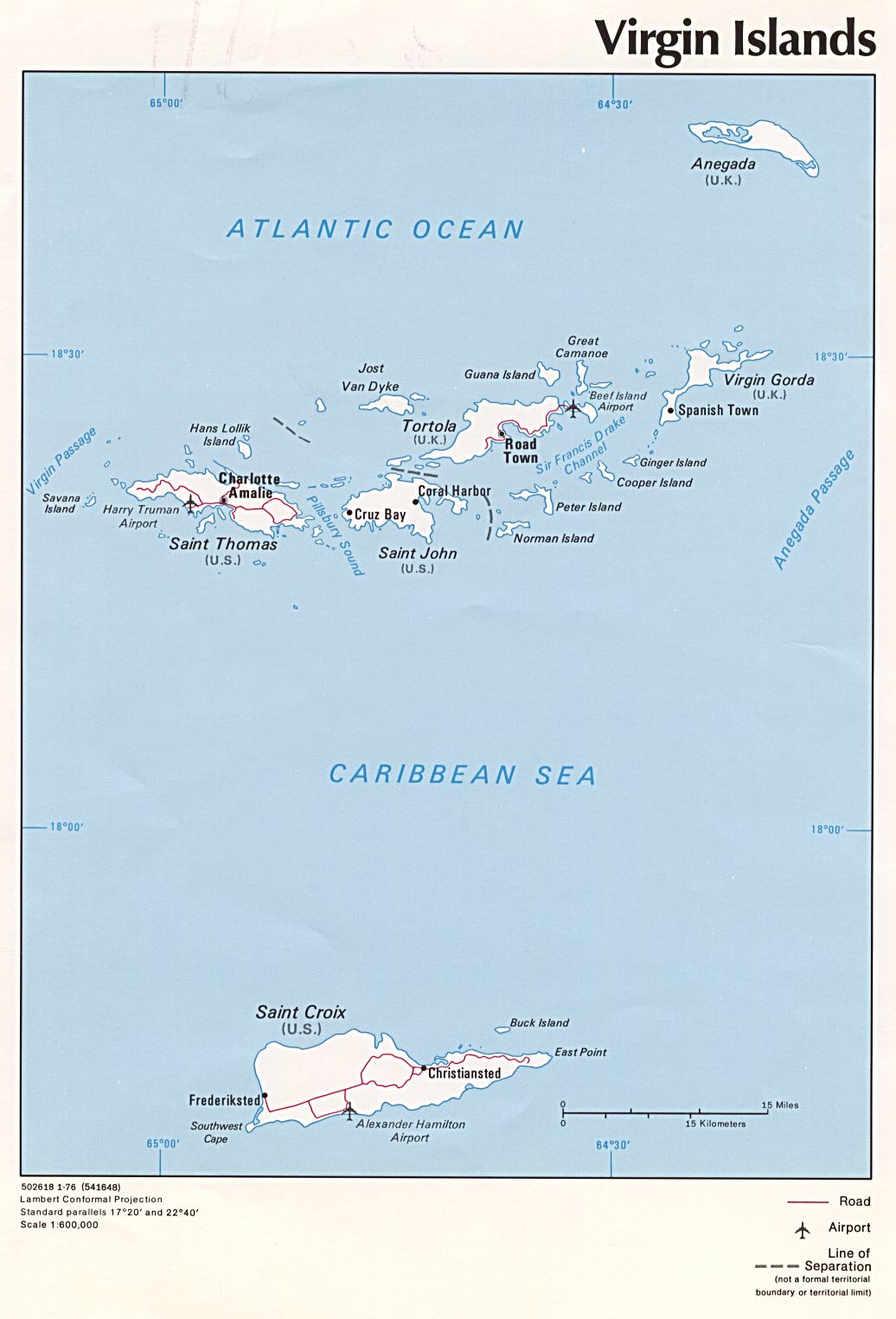
| Beskrywing | Political map of U.S. Virgin Islands and British Virgin Islands, 1976, produced by the U.S. Central Intelligence Agency. |
| Datum | |
| Bron | University of Texas Libraries, Perry-Castañeda Library Map Collection: Americas Maps |
| Outeur | CIA |
| Ander weergawes |
|

Lisensiëring
| This image is a work of a Central Intelligence Agency employee, taken or made as part of that person's official duties. As a Work of the United States Government, this image or media is in the public domain in the United States.
|

|
Lêergeskiedenis
Klik op die datum/tyd om te sien hoe die lêer destyds gelyk het.
| Datum/Tyd | Duimnael | Dimensies | Gebruiker | Opmerking | |
|---|---|---|---|---|---|
| huidig | 10:02, 3 Julie 2005 | | 1 036 × 1 525 (138 KG) | Kooma | CIA map of U.S. Virgin Islands and British Virgin Islands from [http://www.lib.utexas.edu/maps/americas/virginislands.jpg]. {{PD-USGov-CIA}} Category:Caribbean |
Lêergebruik
Die volgende bladsy gebruik dié lêer:
Globale lêergebruik
Die volgende ander wiki's gebruik hierdie lêer:
- Gebruik in ar.wikipedia.org
- Gebruik in azb.wikipedia.org
- Gebruik in az.wikipedia.org
- Gebruik in be.wikipedia.org
- Gebruik in br.wikipedia.org
- Gebruik in bs.wikipedia.org
- Gebruik in cs.wikipedia.org
- Gebruik in da.wikipedia.org
- Gebruik in el.wikipedia.org
- Gebruik in en.wikipedia.org
- Virgin Islands
- Ecclesiastical provinces and dioceses of the Episcopal Church
- List of governors of the Danish West Indies
- Episcopal Diocese of the Virgin Islands
- Dutch Virgin Islands
- HDMS Lougen (1791)
- List of the Episcopal cathedrals of the United States
- List of Episcopal bishops of the United States
- Gebruik in eo.wikipedia.org
- Gebruik in es.wikipedia.org
- Gebruik in fi.wikipedia.org
- Gebruik in frr.wikipedia.org
- Gebruik in fr.wikipedia.org
- Gebruik in gl.wikipedia.org
- Gebruik in hr.wikipedia.org
- Gebruik in id.wikipedia.org
- Gebruik in it.wikipedia.org
- Gebruik in ja.wikipedia.org
- Gebruik in kk.wikipedia.org
- Gebruik in ky.wikipedia.org
- Gebruik in lt.wikipedia.org
- Gebruik in mrj.wikipedia.org
- Gebruik in nl.wikipedia.org
- Gebruik in no.wikipedia.org
- Gebruik in pl.wikipedia.org
- Gebruik in pl.wiktionary.org
- Gebruik in pt.wikipedia.org
- Gebruik in ro.wikipedia.org
- Gebruik in ru.wikipedia.org
- Gebruik in sl.wikipedia.org
Wys meer globale gebruik van die lêer.