Lêer:Cape Colony map.png
Grootte van hierdie voorskou: 725 × 600 piksels. Ander resolusies: 290 × 240 piksels | 581 × 480 piksels | 1 000 × 827 piksels.
Oorspronklike lêer (1 000 × 827 piksels, lêergrootte: 49 KG, MIME-tipe: image/png)

|
File:Map of the provinces of South Africa 1976-1994 with the Cape highlighted.svg is a vector version of this file. It should be used in place of this PNG file.
File:Cape Colony map.png → File:Map of the provinces of South Africa 1976-1994 with the Cape highlighted.svg
For more information, see Help:SVG. |
 |
Opsomming
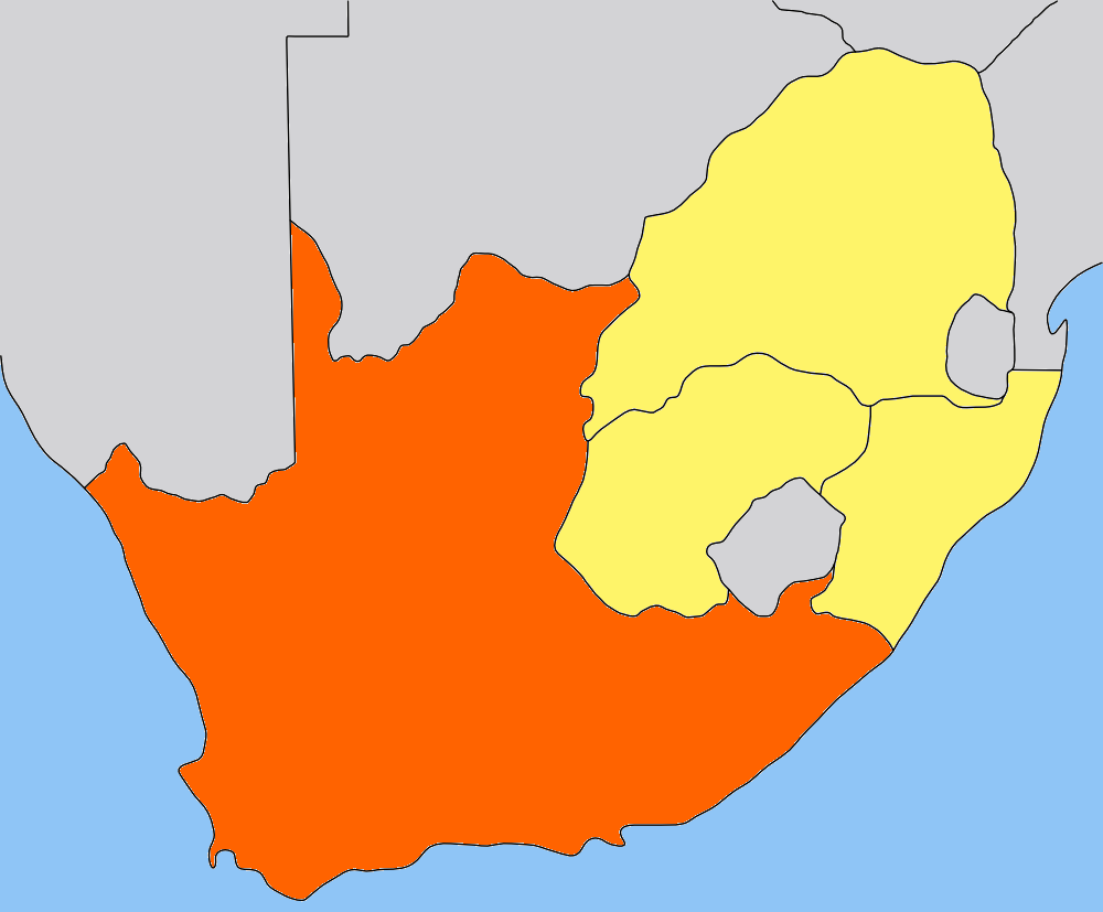
| Beskrywing | Map of the Cape Colony/Cape Province in South Africa. Traced by hand in Inkscape from older version of this image, recoloured in the GIMP. |
| Datum | |
| Bron | Own work, based on low-res map made by Messhermit and uploaded by Valentinian (see older versions of this file) |
| Outeur | Self |
| Toestemming (Hergebruik van die lêer) |
CC-BY-SA-2.5 |
| Ander weergawes | Other province maps based on the same work: Cape Colony, Transvaal, Natal Colony, Orange Free State |
See also   
|
Lisensiëring
This file is licensed under the Creative Commons Attribution-Share Alike 2.5 Generic license.
- U is vry:
- om te deel – die werk kopieer, versprei en deurgee
- om te hermeng – om die werk aan te pas
- Onder die volgende voorwaardes:
- naamsvermelding – U moet die nodige krediet gee, 'n skakel na die lisensie verskaf en aandui of daar veranderinge aangebring is. U mag dit op enige redelike manier doen, maar nie op enige manier wat daarop dui dat die lisensiegewer u of u gebruik onderskryf nie.
- insgelyks – As u die materiaal hermix, transformeer of voortbou, moet u u bydraes versprei onder die dieselfde of versoenbare lisensie as die oorspronklike.
Lêergeskiedenis
Klik op die datum/tyd om te sien hoe die lêer destyds gelyk het.
| Datum/Tyd | Duimnael | Dimensies | Gebruiker | Opmerking | |
|---|---|---|---|---|---|
| huidig | 20:01, 9 Mei 2006 | | 1 000 × 827 (49 KG) | Dewet | {{Information| |Description=Map of the Cape Colony; traced by hand in Inkscape, recoloured in the GIMP. |Source=Own work |Date=2006-05-09 |Author=Self, based on [[:image:Cape_Colony_map.png|Cape Colony map |
| 15:05, 25 Julie 2005 |  | 305 × 252 (41 KG) | Valentinian | Map of the former Cape Colony in South Africa (before 1910.) {{PD-self}} Based on the map of Transvaal made by user:Messhermit |
Lêergebruik
Daar is geen bladsye wat dié lêer gebruik nie.
Globale lêergebruik
Die volgende ander wiki's gebruik hierdie lêer:
- Gebruik in ar.wikipedia.org
- Gebruik in be.wikipedia.org
- Gebruik in bg.wikipedia.org
- Gebruik in da.wikipedia.org
- Gebruik in de.wikipedia.org
- Gebruik in el.wikipedia.org
- Gebruik in en.wikipedia.org
- Gebruik in eo.wikipedia.org
- Gebruik in frr.wikipedia.org
- Gebruik in fr.wikipedia.org
- Gebruik in hu.wikipedia.org
- Gebruik in it.wikipedia.org
- Gebruik in ka.wikipedia.org
- Gebruik in lt.wikipedia.org
- Gebruik in nn.wikipedia.org
- Gebruik in no.wikipedia.org
- Portal:Afrika/Utvalgt artikkel
- Kappkolonien
- Kapp-provinsen
- Portal:Afrika/Utvalgt artikkel/Arkiv
- Wikipedia:Ukens danske artikkel/2010
- Portal:Afrika/Utvalgt artikkel/juli
- Portal:Sør-Afrika
- Portal:Sør-Afrika/Utvalgt artikkel
- Portal:Sør-Afrika/Utvalgt artikkel/Arkiv
- Portal:Sør-Afrika/Utvalgt artikkel/juni
- Wikipedia:Ukens danske artikkel/Uke 29, 2010
- Gebruik in pl.wikipedia.org
- Gebruik in pt.wikipedia.org
- Gebruik in ru.wikipedia.org
- Gebruik in simple.wikipedia.org
- Gebruik in sw.wikipedia.org
- Gebruik in zh.wikipedia.org