Lêer:Guadeloupe department location map.svg

Size of this PNG preview of this SVG file: 684 × 600 piksels. Ander resolusies: 274 × 240 piksels | 547 × 480 piksels | 876 × 768 piksels | 1 168 × 1 024 piksels | 2 336 × 2 048 piksels | 1 015 × 890 piksels.
Oorspronklike lêer (SVG-lêer, normaalweg 1 015 × 890 piksels, lêergrootte: 217 KG)
Opsomming
| Kameraligging | | Hierdie en ander beelde in: OpenStreetMap |
|---|
| Beskrywing |
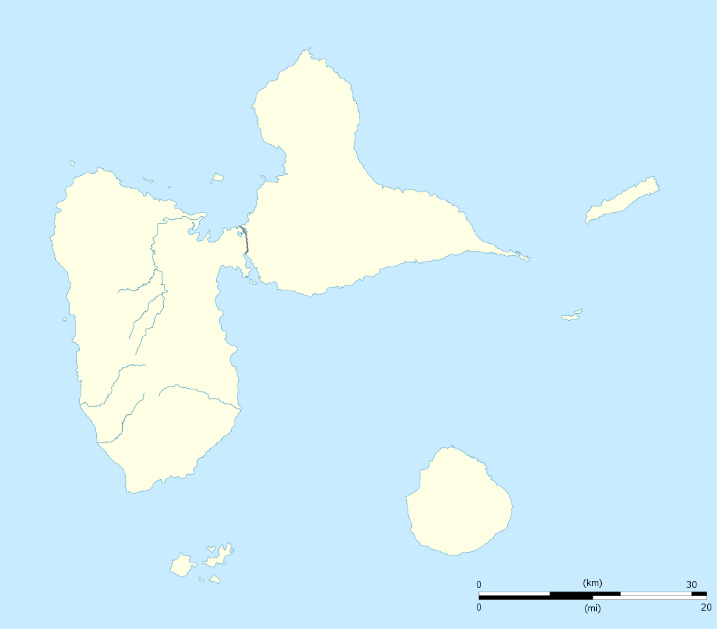
English: Blank administrative map of the region and department of Guadeloupe, France, for geo-location purpose, with arrondissements boundaries.
Français : Carte administrative vierge de la région et département de Guadeloupe, France, destinée à la géolocalisation, avec limite des arrondissements. Equirectangular projection, WGS84 datum
Geographic limits of the map:
|
||
| Datum | |||
| Bron |
Eie werk
|
||
| Outeur | Eric Gaba (Sting - fr:Sting) | ||
| Toestemming (Hergebruik van die lêer) |
|
||
| Ander weergawes |
Derivative works of this file: France all regions.svg
|

Lisensiëring
Ek, die outeursreghouer van hierdie werk, publiseer dit onder die volgende lisensie:
Hierdie lêer is gelisensieer onder die Creative Commons Erkenning-Insgelyks Deel 3.0 Onoorgedraagde lisensie.
- U is vry:
- om te deel – die werk kopieer, versprei en deurgee
- om te hermeng – om die werk aan te pas
- Onder die volgende voorwaardes:
- naamsvermelding – U moet die nodige krediet gee, 'n skakel na die lisensie verskaf en aandui of daar veranderinge aangebring is. U mag dit op enige redelike manier doen, maar nie op enige manier wat daarop dui dat die lisensiegewer u of u gebruik onderskryf nie.
- insgelyks – As u die materiaal hermix, transformeer of voortbou, moet u u bydraes versprei onder die dieselfde of versoenbare lisensie as die oorspronklike.

|
Toestemming word verleen tot die kopiëring, verspreiding en/of wysiging van hierdie dokument onder die voorwaardes van die GNU-lisensie vir vrye dokumentasie, weergawe 1.2 of enige latere weergawe uitgegee deur die Stigting vir Vrye Sagteware, sonder Invariante Dele, geen Voorbladtekste en geen Agterbladtekste. 'n Kopie van hierdie lisensie is ingesluit in die afdeling getiteld GNU Free Documentation License. |
U kan die lisensie van u keuse kies.
Lêergeskiedenis
Klik op die datum/tyd om te sien hoe die lêer destyds gelyk het.
| Datum/Tyd | Duimnael | Dimensies | Gebruiker | Opmerking | |
|---|---|---|---|---|---|
| huidig | 20:00, 22 September 2008 | | 1 015 × 890 (217 KG) | Sting | == Summary == {{Location|16|10|30|N|61|24|00|W|scale:500000}} <br/> {{Information |Description={{en|Blank administrative map of the region and department of Guadeloupe, France, for geo-location purpose, with arrondissements boundaries.} |
Lêergebruik
Die volgende bladsy gebruik dié lêer:
Globale lêergebruik
Die volgende ander wiki's gebruik hierdie lêer:
- Gebruik in als.wikipedia.org
- Gebruik in an.wikipedia.org
- Gebruik in ar.wikipedia.org
- Gebruik in ast.wikipedia.org
- Gebruik in be-tarask.wikipedia.org
- Gebruik in be.wikipedia.org
- Gebruik in bg.wikipedia.org
- Gebruik in bs.wikipedia.org
- Gebruik in ca.wikipedia.org
- Gebruik in ceb.wikipedia.org
- Plantilya:Location map Guadeloupe
- Old Fort Point
- North Point
- Mont Saint-Jean
- Bombo
- Piton Island
- Whale Rock
- Baleine
- Moule
- Sugarloaf
- Le Pain de Sucre
- Les Saintes
- La Tortue
- La Baleine (pagklaro)
- Grande Pointe
- Ferry Point
- Saint Peter Island
- Sugarloaf Passage
- Portland Bay
- Cemetery Point
- Massacre Hill
- Pointe Noire
- Passe du Sud
- Petite Passe
- Morne Rouge
- Soufriere
- Salee River
- Pointe Mahaut
- L’Ilet
- Pointe des Salines
- Pointe Rouge
- Pointe Percée
- Pointe du Cimetière
- Porte d’Enfer
- Rivière Rouge
Wys meer globale gebruik van die lêer.