Lêer:Maximilian I mit Landkarte.jpg

Grootte van hierdie voorskou: 327 × 598 piksels. Ander resolusies: 131 × 240 piksels | 470 × 860 piksels.
Oorspronklike lêer (470 × 860 piksels, lêergrootte: 264 KG, MIME-tipe: image/jpeg)
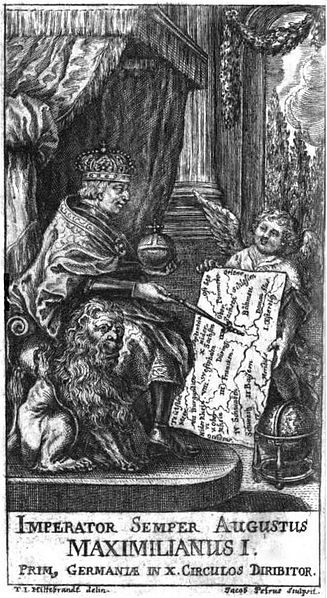
| Beskrywing | Imperator Semper Augustus Maximilianus I. prim, Germaniae in X. circulos diribitor, Titelkupfer zu: Johann Samuel Tromsdorff: Accurate neue und alte Geographie von ganz Teutschland, Frankfurt und Leipzig 1711 |
| Datum | |
| Bron | http://www.google.de/books?id=mU8AAAAAcAAJ&pg=PP6 |
| Outeur | T. I. Hiltebrand (Zeichnung), Jacob Petrus (Stich) |
|
This work is in the public domain in its country of origin and other countries and areas where the copyright term is the author's life plus 100 years or fewer. | |
| Hierdie lêer is geïdentifiseer as vry van bekende beperkings onder kopiereg, insluitend alle verwante en naburige regte. | |
Lêergeskiedenis
Klik op die datum/tyd om te sien hoe die lêer destyds gelyk het.
| Datum/Tyd | Duimnael | Dimensies | Gebruiker | Opmerking | |
|---|---|---|---|---|---|
| huidig | 14:24, 30 Junie 2009 | | 470 × 860 (264 KG) | AndreasPraefcke | {{Information |Description=''Imperator Semper Augustus Maximilianus I. prim, Germaniae in X. circulos diribitor'', Titelkupfer zu: Johann Samuel Tromsdorff: Accurate neue und alte Geographie von ganz Teutschland, Frankfurt und Leipzig 1711 |Source=http:// |
Lêergebruik
Die volgende bladsy gebruik dié lêer:
Globale lêergebruik
Die volgende ander wiki's gebruik hierdie lêer:
- Gebruik in bg.wikipedia.org
- Gebruik in cs.wikipedia.org
- Gebruik in de.wikipedia.org
- Gebruik in en.wikipedia.org
- Gebruik in la.wikipedia.org
- Gebruik in nl.wikipedia.org
- Gebruik in ro.wikipedia.org