Lêer:Guyana location map.svg

Size of this PNG preview of this SVG file: 407 × 599 piksels. Ander resolusies: 163 × 240 piksels | 326 × 480 piksels | 522 × 768 piksels | 695 × 1 024 piksels | 1 391 × 2 048 piksels | 1 252 × 1 843 piksels.
Oorspronklike lêer (SVG-lêer, normaalweg 1 252 × 1 843 piksels, lêergrootte: 293 KG)
Opsomming
| Beskrywing |
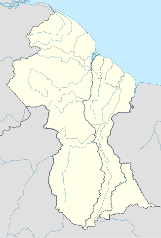
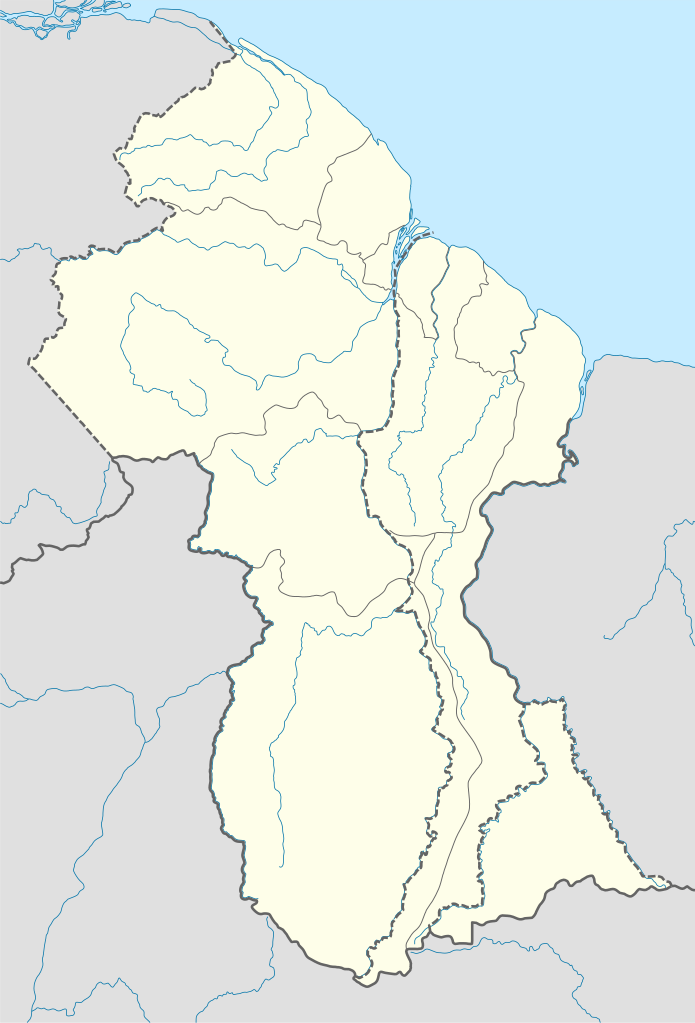
Deutsch: Positionskarte von Guyana
Quadratische Plattkarte. Geographische Begrenzung der Karte:
English: Location map of Guyana
Equirectangular projection. Geographic limits of the map:
|
| Datum | 02.12.2008 |
| Bron |
own work, using
|
| Outeur | NordNordWest |
| Ander weergawes | Derivative works of this file: Guyana relief location map.jpg |

|
This map has been made or improved in the German Kartenwerkstatt (Map Lab). You can propose maps to improve as well.
|
Lisensiëring
Ek, die outeursreghouer van hierdie werk, publiseer dit onder die volgende lisensie:

|
Toestemming word verleen tot die kopiëring, verspreiding en/of wysiging van hierdie dokument onder die voorwaardes van die GNU-lisensie vir vrye dokumentasie, weergawe 1.2 of enige latere weergawe uitgegee deur die Stigting vir Vrye Sagteware, sonder Invariante Dele, geen Voorbladtekste en geen Agterbladtekste. 'n Kopie van hierdie lisensie is ingesluit in die afdeling getiteld GNU Free Documentation License. |
Hierdie lêer is gelisensieer onder die Creative Commons Erkenning-Insgelyks Deel 3.0 Onoorgedraagde lisensie.
- U is vry:
- om te deel – die werk kopieer, versprei en deurgee
- om te hermeng – om die werk aan te pas
- Onder die volgende voorwaardes:
- naamsvermelding – U moet die nodige krediet gee, 'n skakel na die lisensie verskaf en aandui of daar veranderinge aangebring is. U mag dit op enige redelike manier doen, maar nie op enige manier wat daarop dui dat die lisensiegewer u of u gebruik onderskryf nie.
- insgelyks – As u die materiaal hermix, transformeer of voortbou, moet u u bydraes versprei onder die dieselfde of versoenbare lisensie as die oorspronklike.
U kan die lisensie van u keuse kies.
Lêergeskiedenis
Klik op die datum/tyd om te sien hoe die lêer destyds gelyk het.
| Datum/Tyd | Duimnael | Dimensies | Gebruiker | Opmerking | |
|---|---|---|---|---|---|
| huidig | 17:03, 15 September 2017 | | 1 252 × 1 843 (293 KG) | Milenioscuro | corrected disputed border with Venezuela |
| 04:09, 28 September 2013 |  | 1 252 × 1 843 (342 KG) | Unukalhai | Reverted to version as of 04:34, 16 October 2012 | |
| 12:36, 24 Februarie 2013 |  | 1 252 × 1 843 (341 KG) | Wester | Reverted to version as of 19:53, 2 December 2008 | |
| 04:34, 16 Oktober 2012 |  | 1 252 × 1 843 (342 KG) | Unukalhai | Including disputed area by Venezuela, the same way wich the surinamese one appears in the map. http://treaties.un.org/pages/showDetails.aspx?objid=080000028012b96f | |
| 19:53, 2 Desember 2008 |  | 1 252 × 1 843 (341 KG) | NordNordWest | {{Information |Description= {{de|Positionskarte von Guyana}} Quadratische Plattkarte. Geographische Begrenzung der Karte: * N: 8.7° N * S: 0.9° N * W: 61.6° W * O: 56.3° W {{en|Location map of Guyana}} Equirectangular pro |
Lêergebruik
Die volgende 5 bladsye gebruik dié lêer:
Globale lêergebruik
Die volgende ander wiki's gebruik hierdie lêer:
- Gebruik in an.wikipedia.org
- Gebruik in ar.wikipedia.org
- Gebruik in ast.wikipedia.org
- Gebruik in az.wikipedia.org
- Gebruik in ba.wikipedia.org
- Gebruik in be-tarask.wikipedia.org
- Gebruik in be.wikipedia.org
- Gebruik in bg.wikipedia.org
- Gebruik in bn.wikipedia.org
- Gebruik in bs.wikipedia.org
- Gebruik in ceb.wikipedia.org
- Plantilya:Location map Guyana
- White Cliff
- West Channel
- Saint John’s
- Bird Island
- Middle Ground
- Lama (pagklaro)
- Bamboo
- Sail Rock
- Pigeon Island
- Rock Point
- Hog Island
- Ship Channel
- Bird Point
- Red Hill
- Santa Rosa
- Santa Maria (pagklaro)
- George Creek
- Fish Creek
- Duck Creek
- Devil Creek
- Blackwater Creek
- Dog Point
- Mariba
- Sand Island
Wys meer globale gebruik van die lêer.