Lêer:RMImap-CIA.jpg

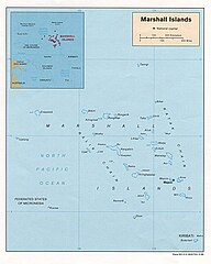
Grootte van hierdie voorskou: 480 × 599 piksels. Ander resolusies: 192 × 240 piksels | 385 × 480 piksels | 615 × 768 piksels | 1 042 × 1 300 piksels.
Oorspronklike lêer (1 042 × 1 300 piksels, lêergrootte: 156 KG, MIME-tipe: image/jpeg)
Opsomming
| Beskrywing |
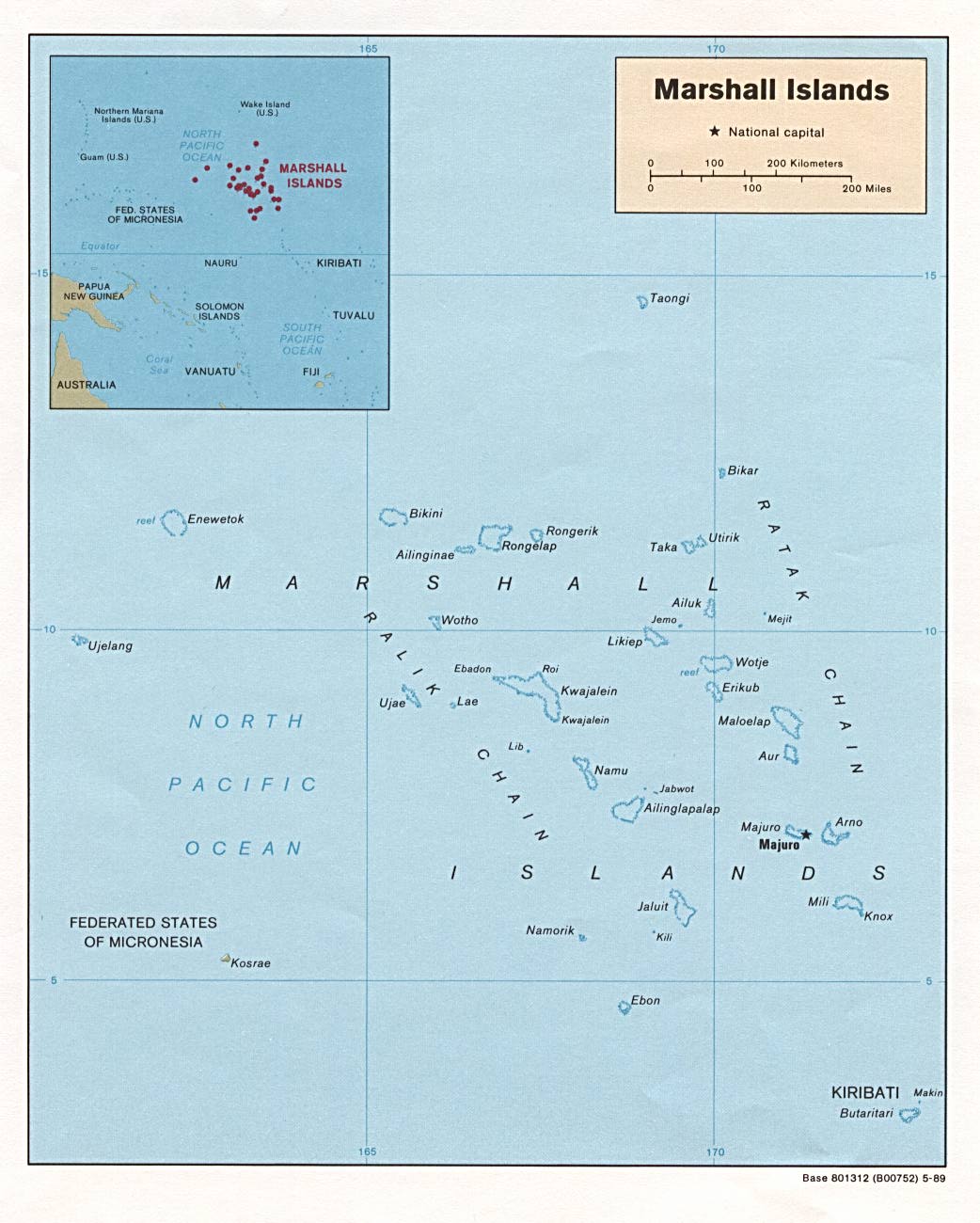
English: map of RMI |
||
| Bron | CIA from PCL: . | ||
| Outeur |
US Government
|
||
| Ander weergawes | Derivative works of this file: RMImap-CIA context.jpg |

Lisensiëring
| This image is a work of a Central Intelligence Agency employee, taken or made as part of that person's official duties. As a Work of the United States Government, this image or media is in the public domain in the United States.
|

|
Lêergeskiedenis
Klik op die datum/tyd om te sien hoe die lêer destyds gelyk het.
| Datum/Tyd | Duimnael | Dimensies | Gebruiker | Opmerking | |
|---|---|---|---|---|---|
| huidig | 21:56, 26 November 2006 | | 1 042 × 1 300 (156 KG) | Electionworld | {{ew|en|Hoshie}} {{link|CIA}} map of Marshall Islands|RMI, from http://www.lib.utexas.edu/maps/islands_oceans_poles/marshallislands.jpg. {{PD-USGov-CIA}} Category:Maps of the Marshall Islands |
Lêergebruik
Die volgende bladsy gebruik dié lêer:
Globale lêergebruik
Die volgende ander wiki's gebruik hierdie lêer:
- Gebruik in ar.wikipedia.org
- Gebruik in ast.wikipedia.org
- Gebruik in ceb.wikipedia.org
- Gebruik in fr.wiktionary.org
- Gebruik in it.wikipedia.org
- Gebruik in ja.wikipedia.org
- Gebruik in ka.wikipedia.org
- Gebruik in pl.wikipedia.org
- Gebruik in pl.wiktionary.org
- Gebruik in pt.wikipedia.org
- Gebruik in ru.wikipedia.org
- Gebruik in scn.wikipedia.org
- Gebruik in sw.wikipedia.org
- Gebruik in uk.wikipedia.org
- Gebruik in www.wikidata.org